Services
We provide access to drone deployments, sensors, analysis, and reporting–a complete solution for your team to manage or for an expert pilot. But there are more benefits to drones than obtaining data.

NDT Inspection Services
Utilizing the latest UAV technology, we have access to over 300 certified inspectors to provide you with comprehensive reports to ensure your assets meet the required performance standards.
Certifications
We are FAA, API, ASNT, PCN, and AWS Certified, which allows us to safely scan images of flare stacks, storage tanks, cooling towers, pressure equipment, boilers, electrical equipment, windmills, solar panels, and more. Class 1 DIV 1 & Class 1 DIV 2 Certifed.
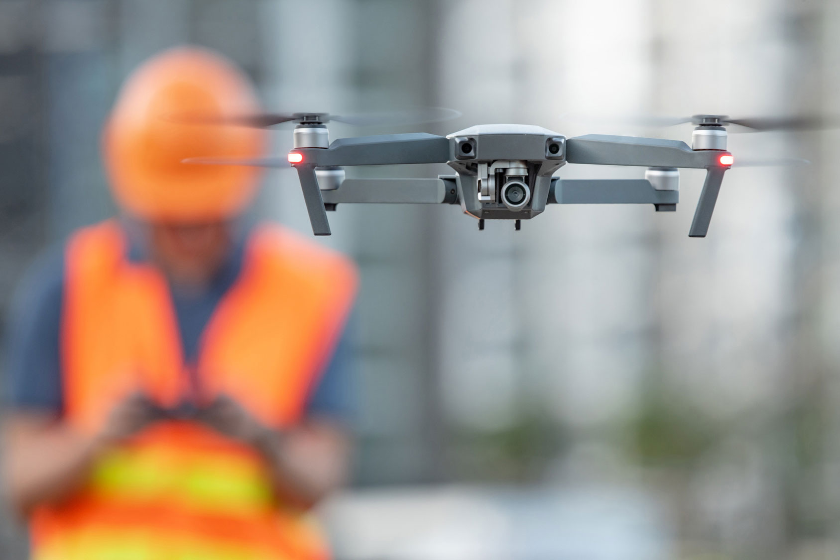
Why Drones?
Using drones, you can strengthen your data value chain to identify and improve operational challenges. Add drones and aerial data to your existing operations by conducting surveys and scans, collecting volume calculations, taking measurements, and conducting preliminary designs.
Benefits
Your company can remove team members from dangerous, on-the-ground job sites. You can integrate your data to be delivered directly to a structured system for immediately actionable and usable.
When you start your data collection, there is a focused reporting system, so there's no data overwhelm. Machine intelligence also allows you to save countless staff hours spent reviewing redundant data.
You can track the progress of construction and land development operations, conduct drainage studies, utility infrastructure plans, and volume calculations. Use data points to take measurements between different objects, fill voids, or develop contour maps in low vegetation areas.
Data Arial Point Cloud Data
Our team can help you avoid one of the biggest challenges a company faces when conducting 3Dscans–obtaining aerial point cloud data.
AutoDesk 360
We can obtain aerial point cloud data and export it onto any AutoDesk 360 Application for you. Or train your team. You're then able to overlay point cloud data with the data obtained by a 3D Scanner.
Management
We can help you develop and win a business case for aerial intelligence, as well as find the right drone for your business.
Gain Internal Support
Let our team of experts identify an opportunity within your existing operations, and then we'll present a customized drone-based solution for your team to evaluate. Once we connect the benefits of drone technology to potential business outcomes, it will make its business case.
Manage Yourself
Using a straightforward platform set up for you by our experts, you can immediately pull insightsfrom a single flight. Our team will pair drones and sensor hardware with software–making it easyto fly the drone, collect and process data, as well as deliver reports to your operations team.
Pilot Network
Backed by an expert support team, we make drone-based aerial intelligence expert pilots available to our clients across the world and industries.